
Each spring, residents across the state often enjoy the budding trees, the sing-song of migratory birds and warmer weather. But alongside the niceties of the changing seasons, a common danger looms.
Severe weather is a natural occurrence for the Great Plains, so much so that the National Weather Service (NWS) hosts annual Storm Spotter Training classes throughout Kansas. Their counterparts from other states also do the same in areas of increased severe weather throughout the spring and summer.
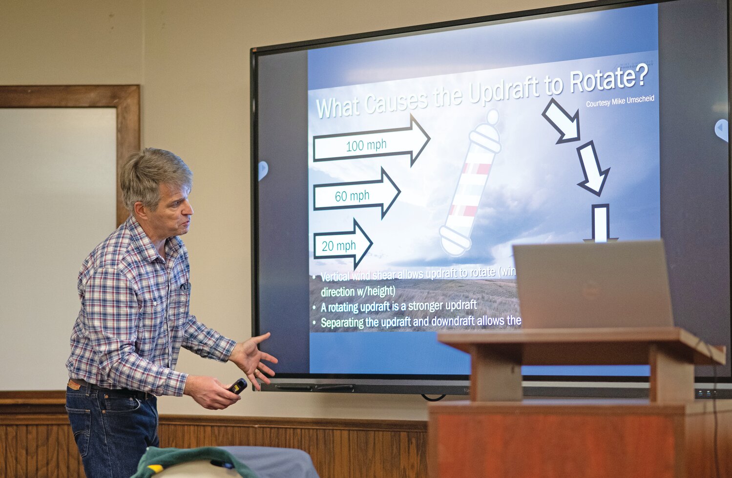
NWS Topeka meteorologist Chad Omitt visited the Cloud County Community College (CCCC) campus on Thursday, March 5, to provide storm spotter training, also known as Skywarn, to the residents of Cloud County.
“Last year, we only had 30 tornadoes in the states, and I say that only because we average about 80. In the 23 counties that we take care of, including here, we only had two documented tornadoes last year. That’s pretty rare; we usually average about a dozen in our neck of the woods,” Omitt said. “But last year, just one day, we had 18 tornadoes on May 18th, and seven of them were considered higher-end, strong tornadoes… it was another sign that we cannot get complacent.”
According to Omitt, Kansas continues to be a hotspot for tornadic activity, but especially for severe weather alongside the rest of the Midwest.
Within the class held at the President’s Addition at CCCC, Omitt spoke to a room filled with resident families, first responders and a cohort of Cloud County employees, including Cloud County Emergency Management Director Makenna Haas.
“Over the last decade, we have lost more people from flooding than we have any other thunderstorm-related hazard,” Omitt said. “That’s not to downplay the risk from tornadoes, because that still possesses the greatest risk for a mass-casualty event, with a violent tornado hitting a big city.”
Although learning about how thunderstorms form and their variations remains quite interesting for most Skywarn pupils, Omitt stressed that safety from the hazards that these storms produce is the most important aspect for all. Three main threats — heavy precipitation, extreme winds and lightning — cause billions of dollars in damage every year.
Localized flooding is the most dangerous aspect of severe thunderstorms, with Omitt referencing last year’s July 4 flooding event in central Texas, where more than 130 people died as a result of intense localized flooding.
Omitt's Skywarn class, which is part of an NWS program, teaches volunteers the basics of thunderstorm development, how to stay safe during severe weather and to report dangerous weather conditions to NWS meteorologists.
Some of these volunteers look to begin helping their fellow community members from a young age, with young Concordia resident Nash Weber, 10, and his mother, Lori Weber, joining the class to learn more about storms.
“We like watching storms, but we also don’t want to be afraid of storms,” Lori said. “It was a way to learn more about them so we’re not afraid and can be more curious.”
Nash agreed with his mom, while adding that he felt better about helping others during severe thunderstorms and understanding the proper procedures to keep himself and those around him safer.
“If something actually happened, we know who to call and where to go,” Nash said. “I know how to get all the stuff we need for safety.”
Omitt described thunderstorm development and its variations, from an ordinary rain shower to rotating supercells that produce the most severe tornadoes. The most common types of severe weather that residents will see include multicellular clusters, multicellular lines and the aforementioned supercell.
“Classic supercells have a little notch on the front side, they call it a hook in the reflectivity radar, because that updraft is rotating,” Omitt said. “Just by the shape of it (on radar), that this is a rotating thunderstorm. It doesn’t guarantee there’s a tornado, but it tells you that the process of rotation is going on.”
In person, a supercell thunderstorm will have features like a tall column of clouds that flattens at the top, with cauliflower-like protrusions as it climbs in altitude. A rotating supercell can look like a barbershop pole, with clear striations that wrap around the column.
Tornadoes can spawn from non-supercell thunderstorms, but they are generally weak and short-lived, while supercellular tornadoes produce the strongest tornadoes and can continue for hours at a time.
For the best safety practices during severe weather, Omitt said to have two methods of weather communication devices: a cellphone and a weather radio. Having access to severe weather warnings and information remains as one of the key aspects, alongside creating a disaster bag, creating an inclement weather plan with friends and family and following critical NWS advice.
Some common phrases that can help residents remember the best safety practices include “Turn around and don’t drown” and “When thunder roars, go indoors.” To learn further details about severe weather safety, visit www.weather.gov/safety.


